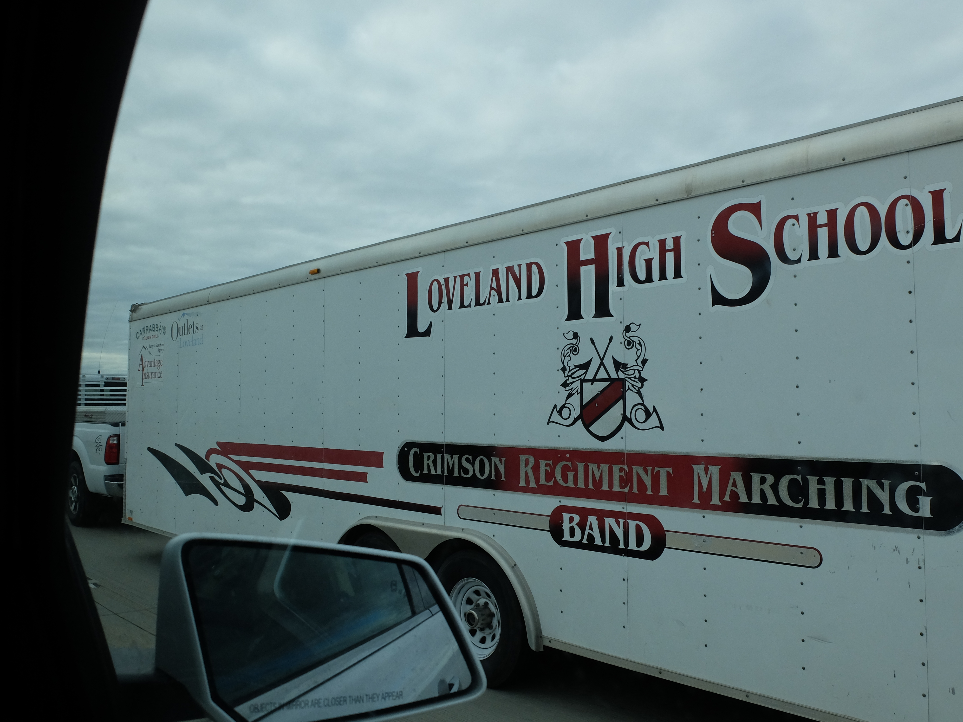
 This morning we filled ourselves with Mike’s muffins and bid farewell to the Greeley friends.
It was a quick trip toward Denver,…
…then up the front range and onto our long-time friend, the Colorado Plateau. For those who don’t share our amateur obsession with geology, the Plateau covers western Colorado, northeast New Mexico, northwest Arizona, and southeast Utah. It includes some amazing natural formations – the result of continental movements throughout history (see the comments about continental drift in day 3) and more recently by the effects of wind and water. Most of the plateau is drained by the Colorado river and its tributaries. Included within its bounds are several of our great National Parks: Zion, Brice, Arches, Canyon Lands, Mesa Verde, and Capitol Reef. There are also several National Monuments on the plateau, including the one we first met today – Colorado National Monument. But more on that later. First we had to get up and over the front range.
One would tend to believe the weather reports that suggested that weather in Denver would be mild and dry. One would also believe the same thing about the same weather forecast for Grand Junction. One would even assume that mild and dry would be the same for all points in between. One would learn better today.
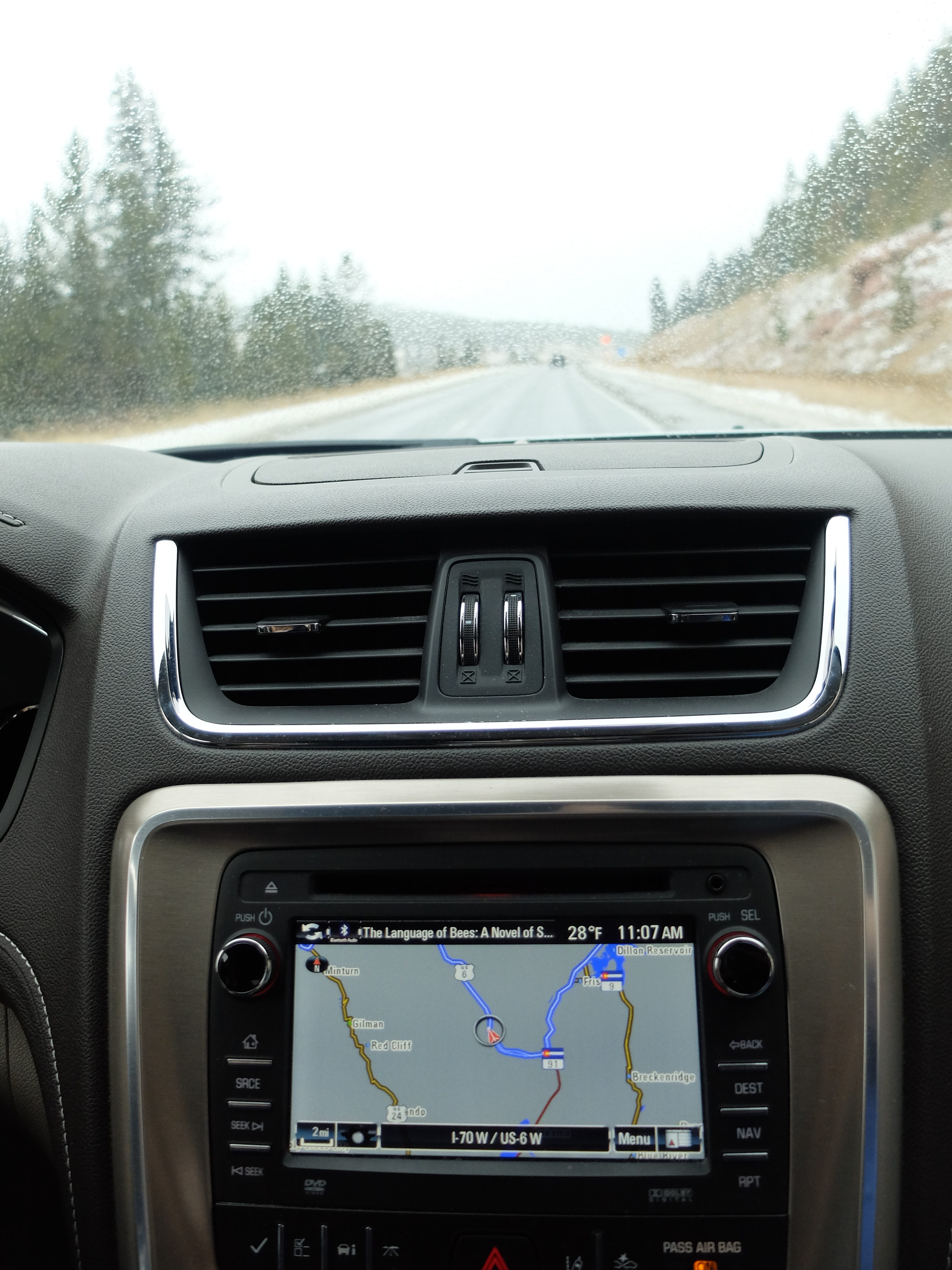
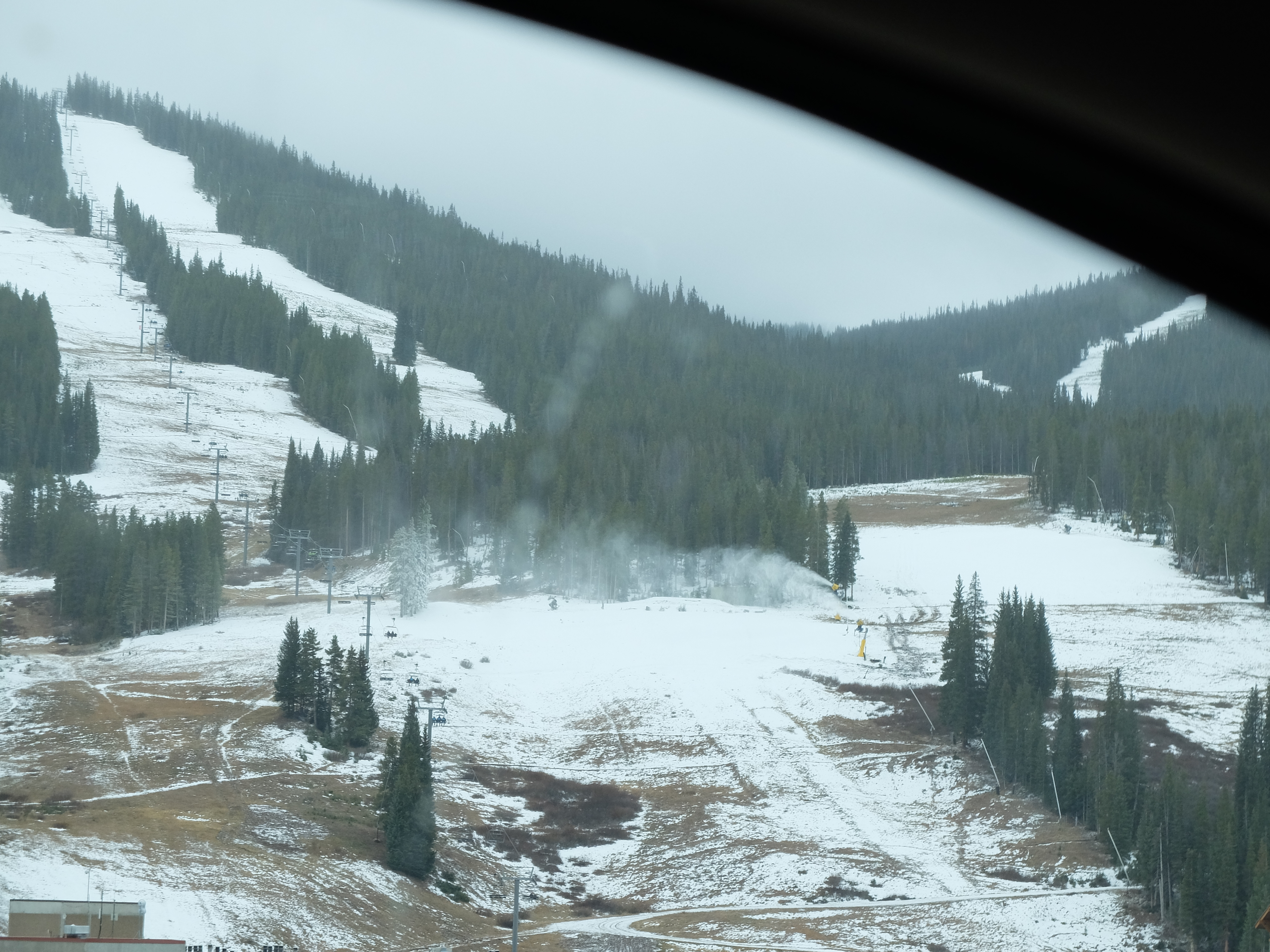
As we crested the pass out of the valley we ran into snow. Not much, but enough that we all slowed down a bit. We also saw the temperature drop from the 40’s in Greeley to 28 around Loveland.
Speaking of Loveland, they were making snow there.
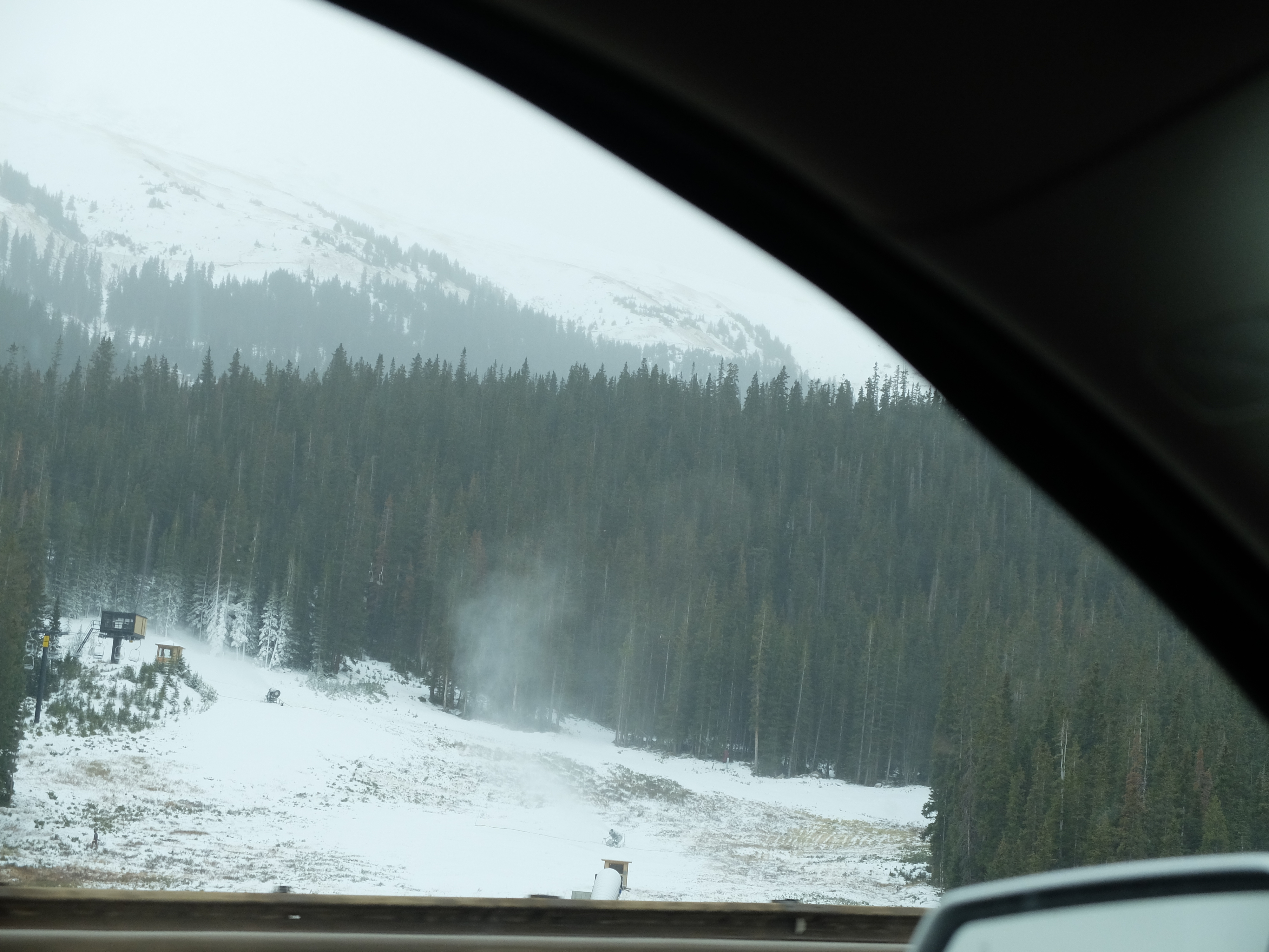
We weren’t able to stop for pictures but there were actually people skiing there. A little farther along at Copper basin they were also making snow and while we didn’t see anyone skiing, if you look at this picture you will see people riding the chair lift.
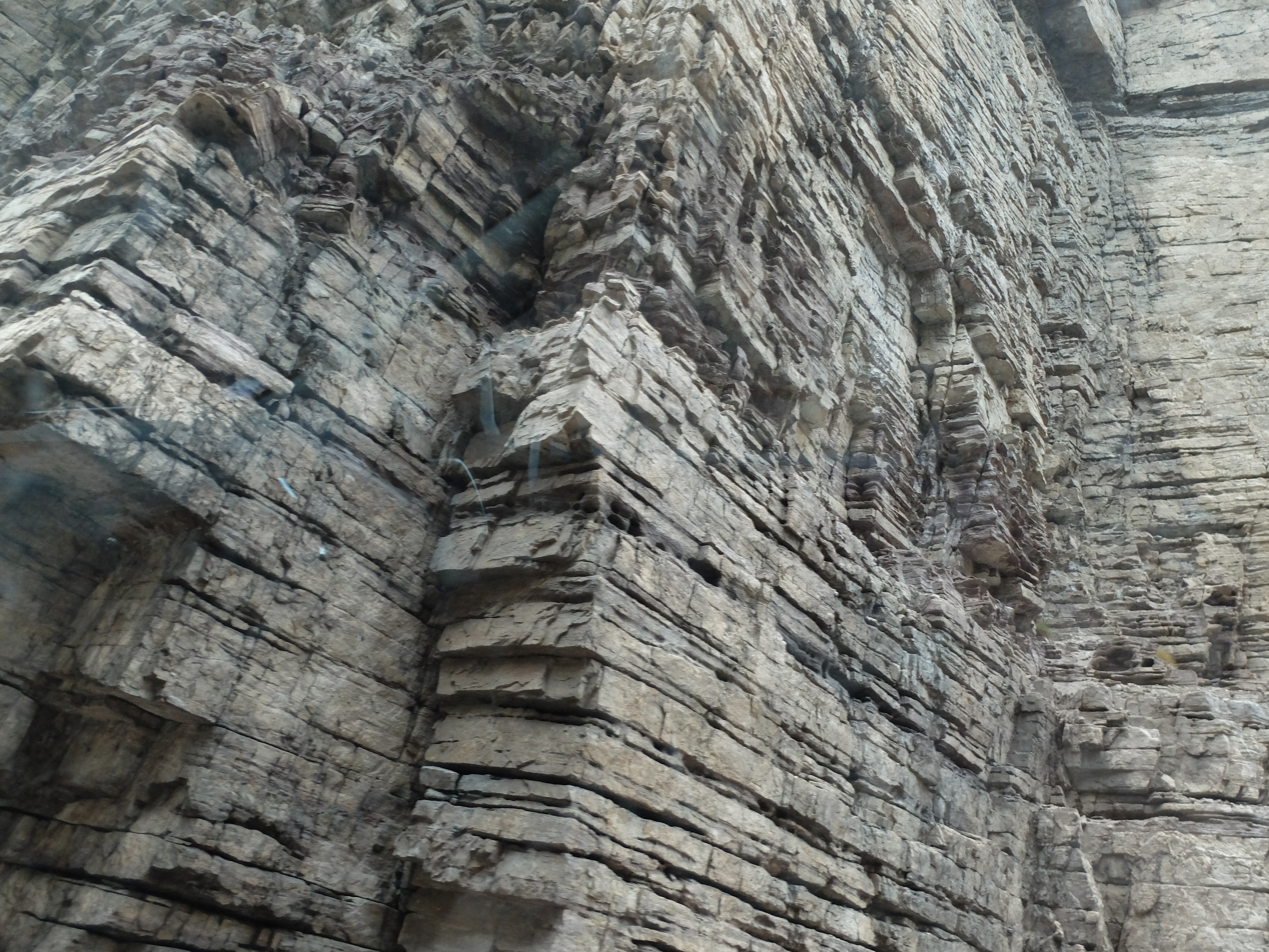
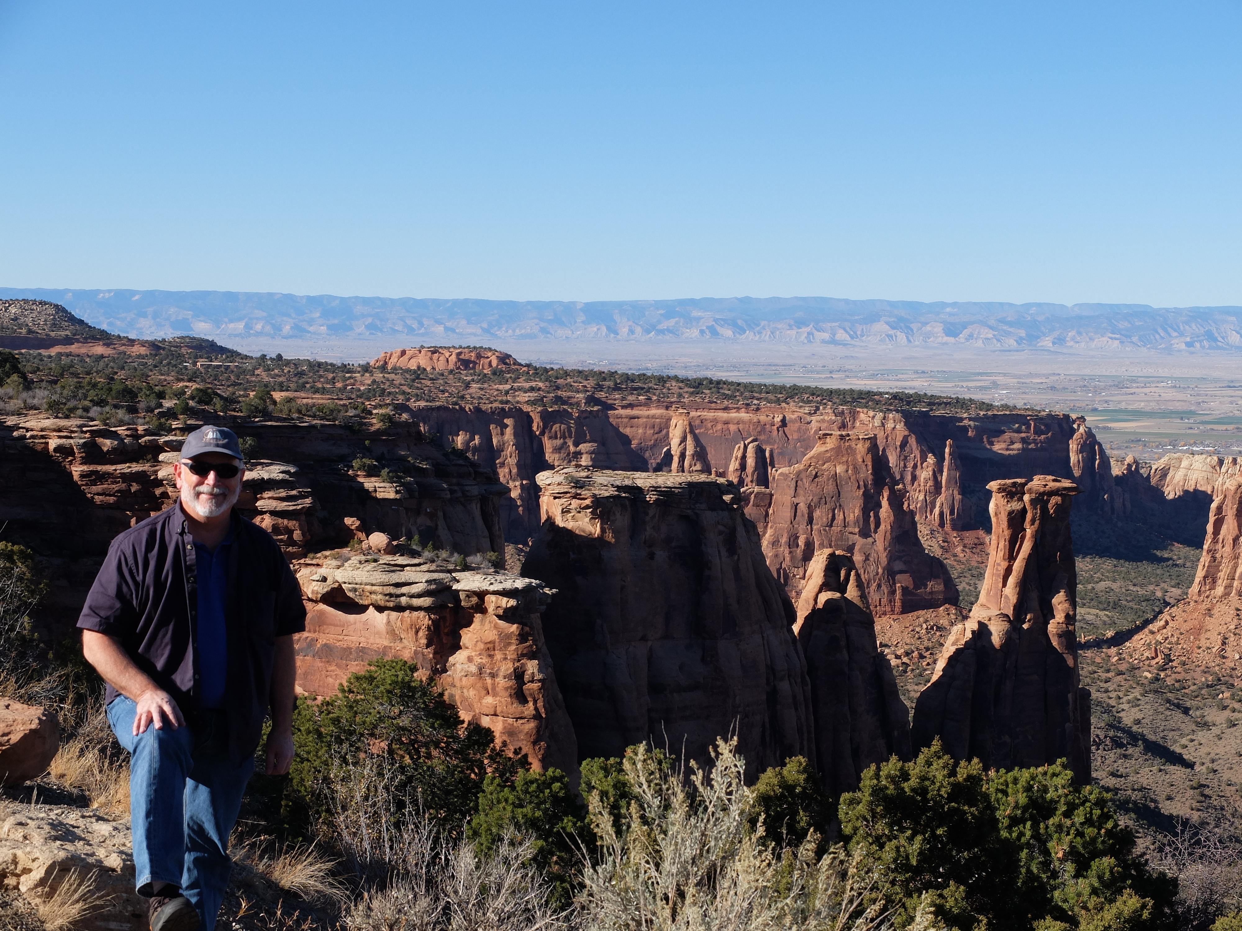
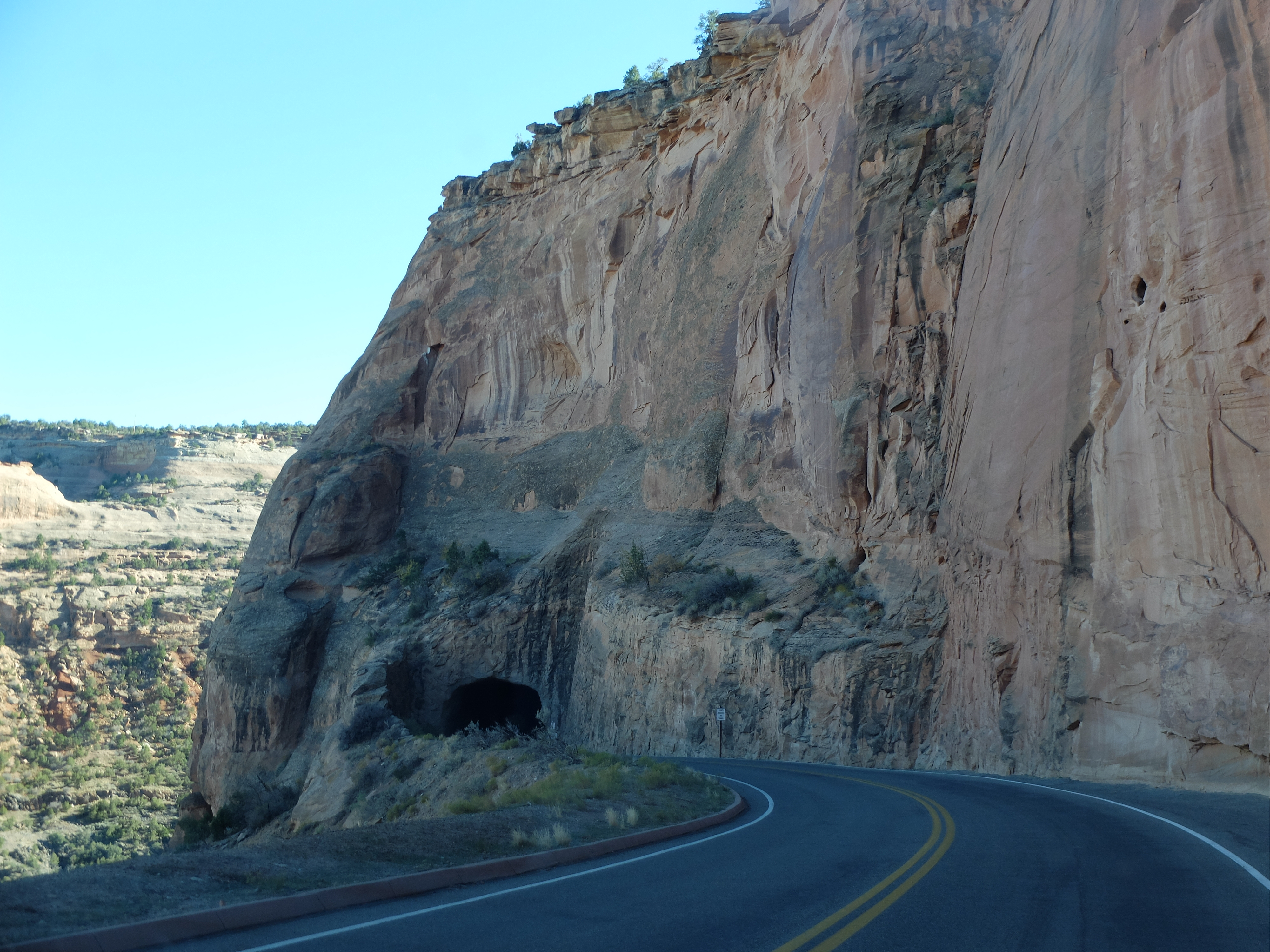
Of course no trip thru the Colorado Plateau would be complete without several hundred pictures of rock formations. If you really want to see them all come over and bring a bottle of wine and we’ll bore you endlessly. For this post here are a couple of samples:
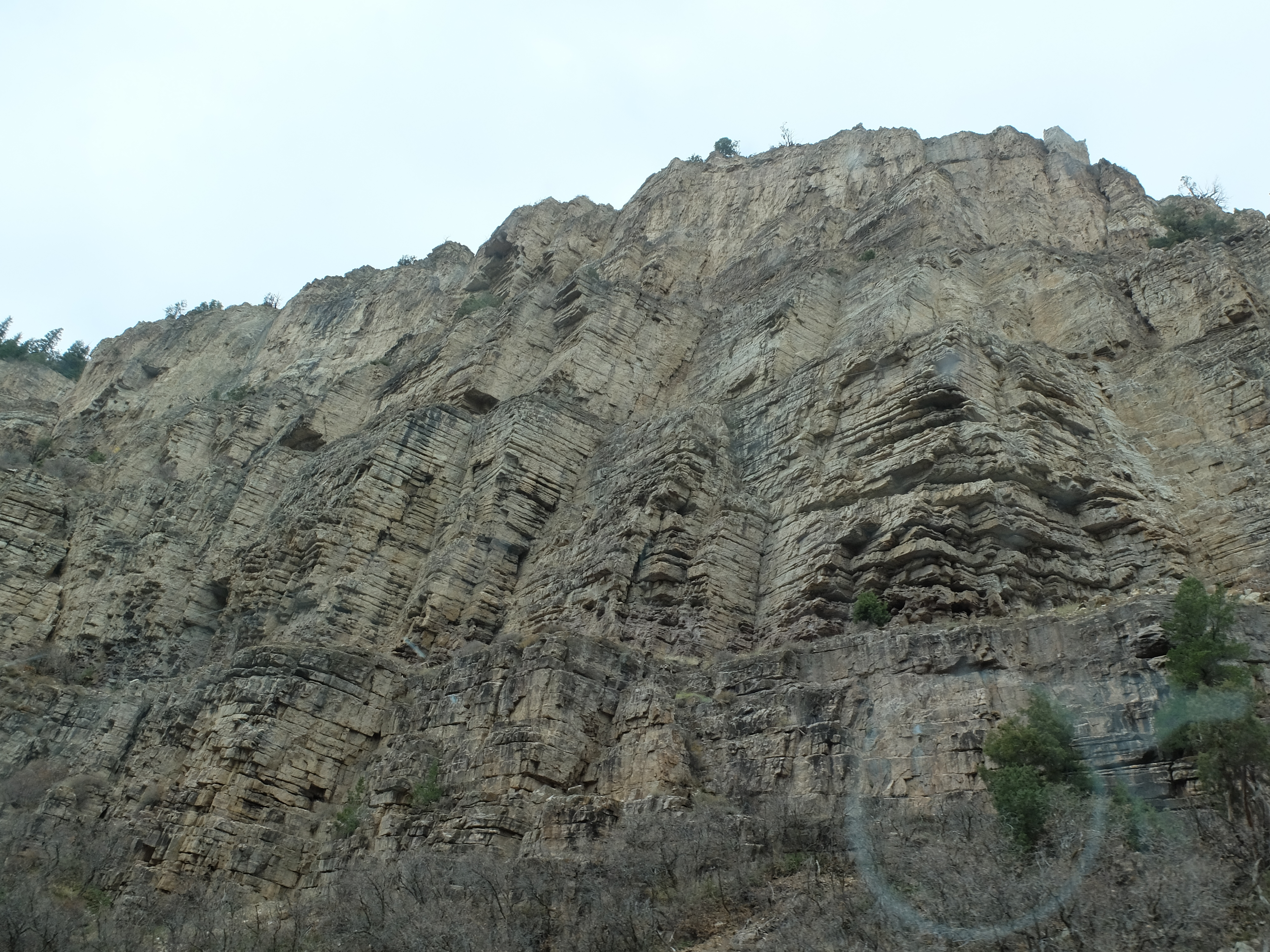
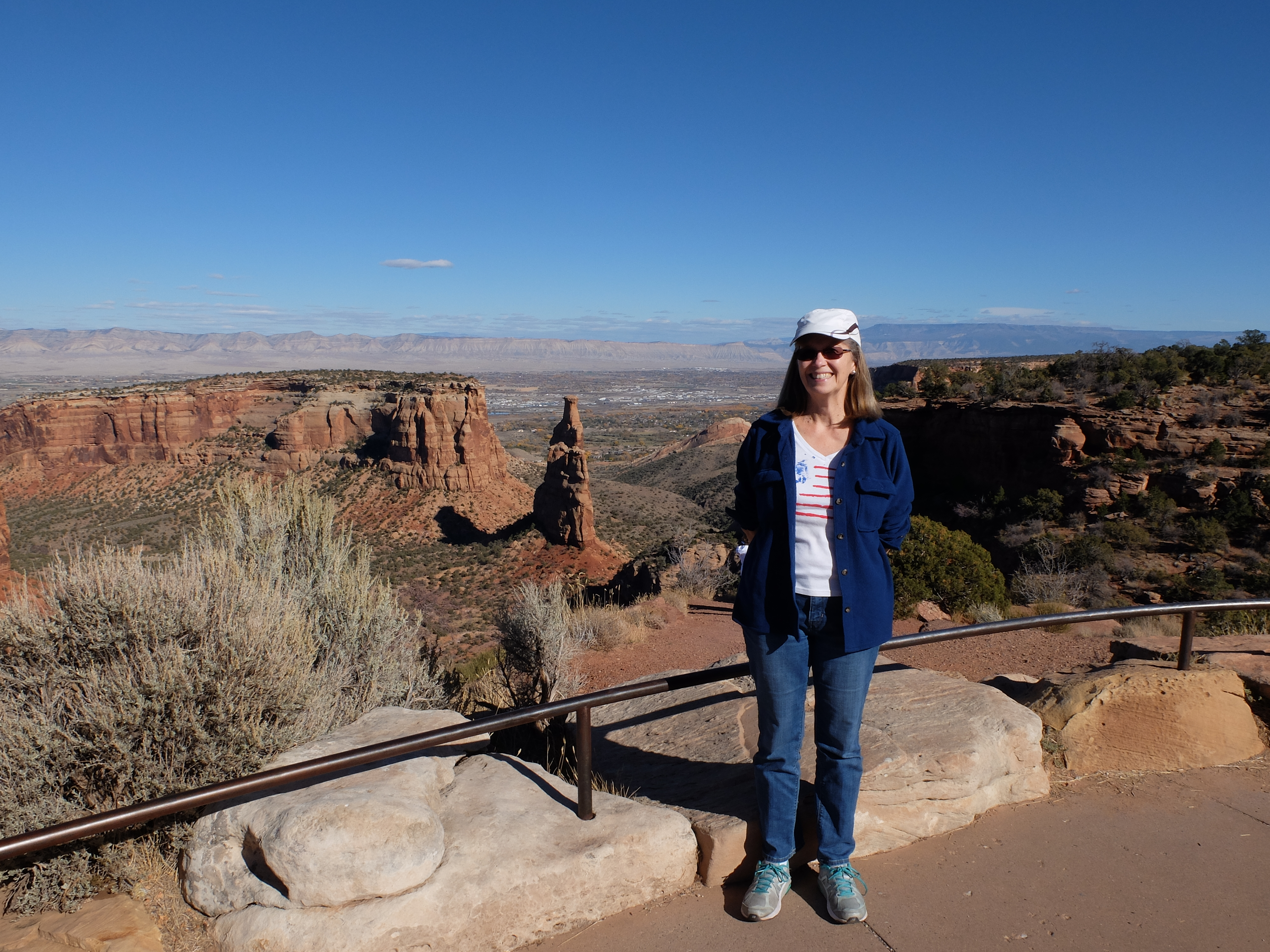
At Mike’s suggestion we stopped at Colorado National Monument. The product of a dramatic fault and significant water (and later wind) erosion, this park is well worth a visit.
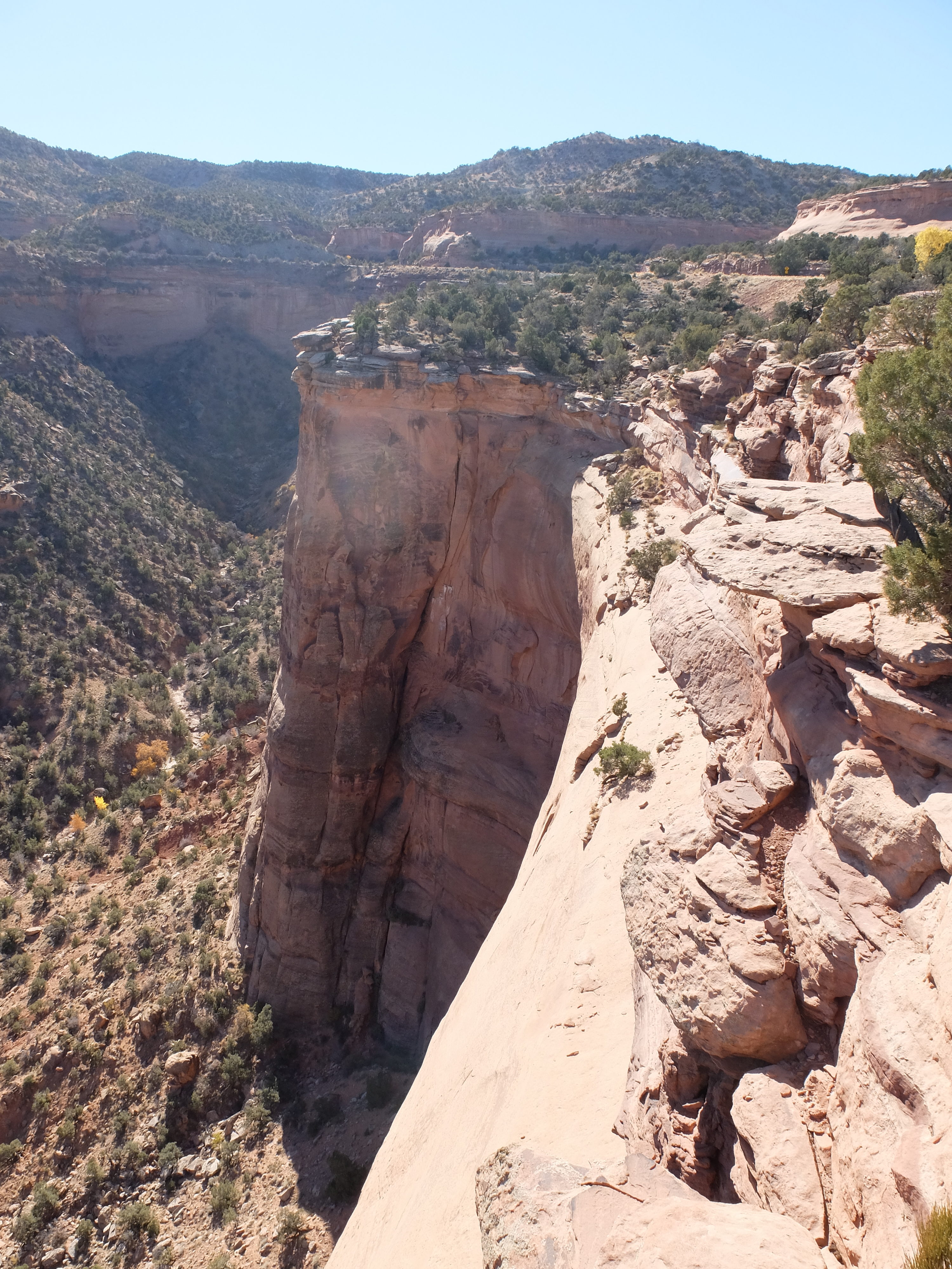
Mike’s second suggestion was that we leave the Interstate at Middle of Nowhere, Utah and take state route 2-something-or-other into Moab. The advantage of this route is that it follows the Colorado River for 20 or so miles. Since Cheryl was driving at that point and I was the navigator I was able to convince her that doing so would be a good idea. Here’s a little bit of why it was a spectacular idea (Thanks again, Mike!):
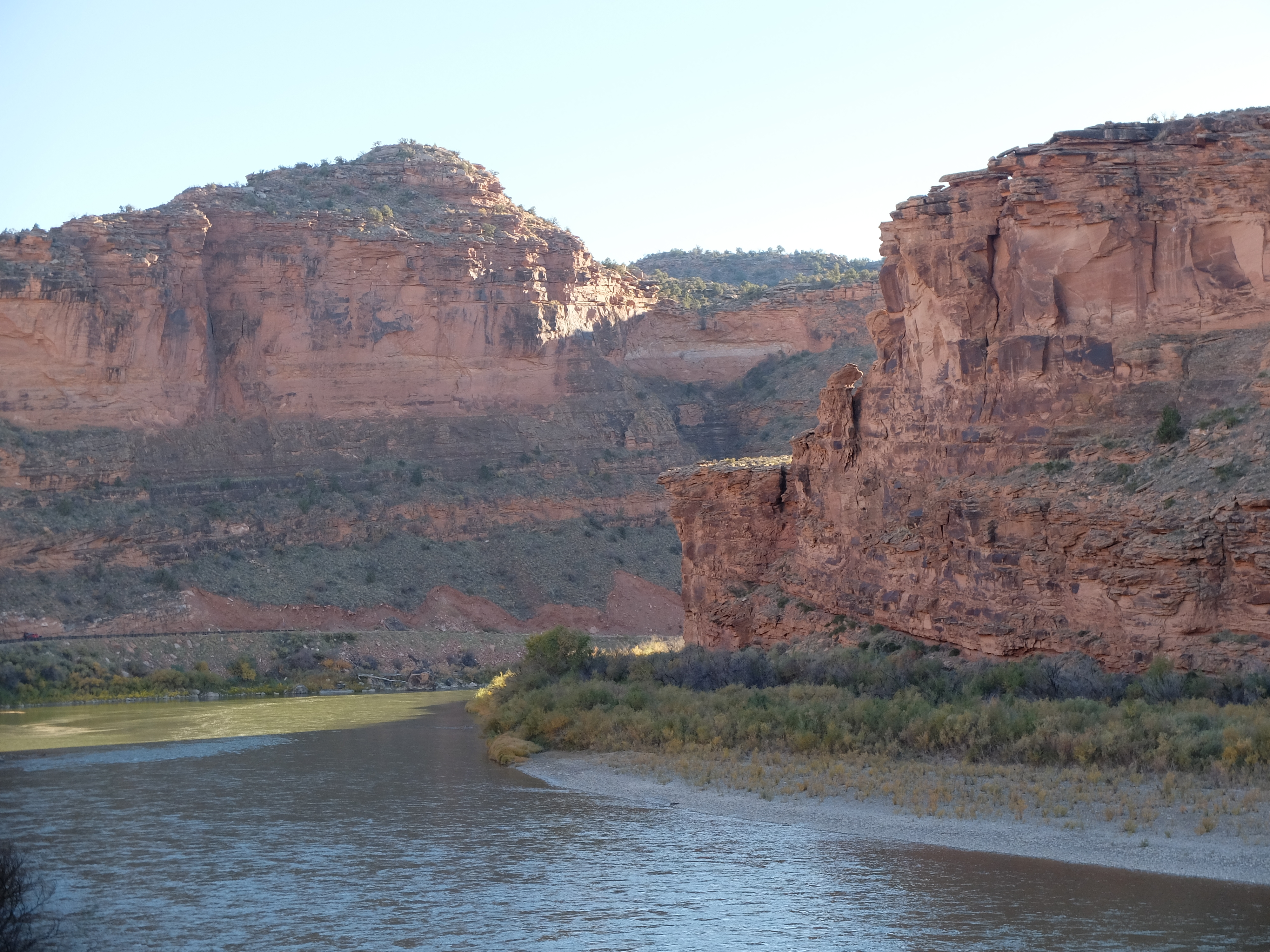
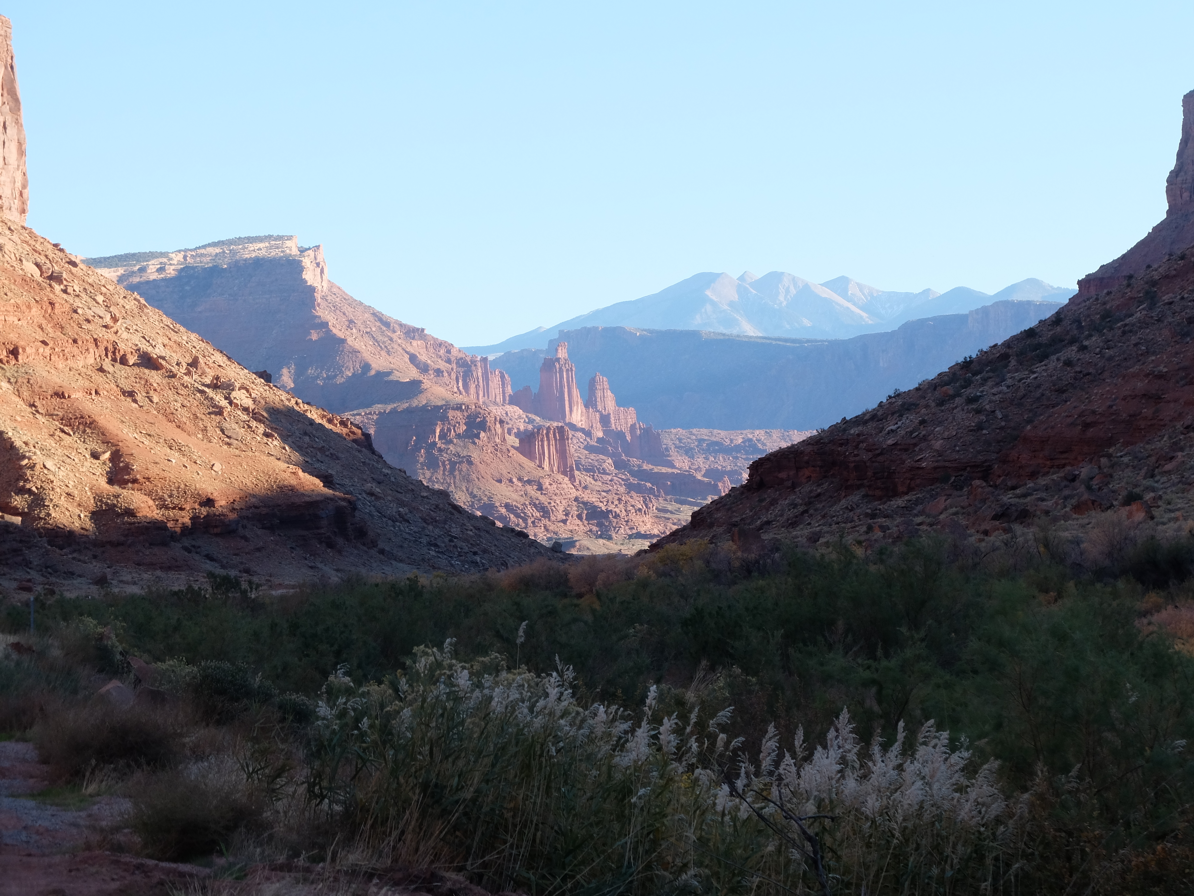
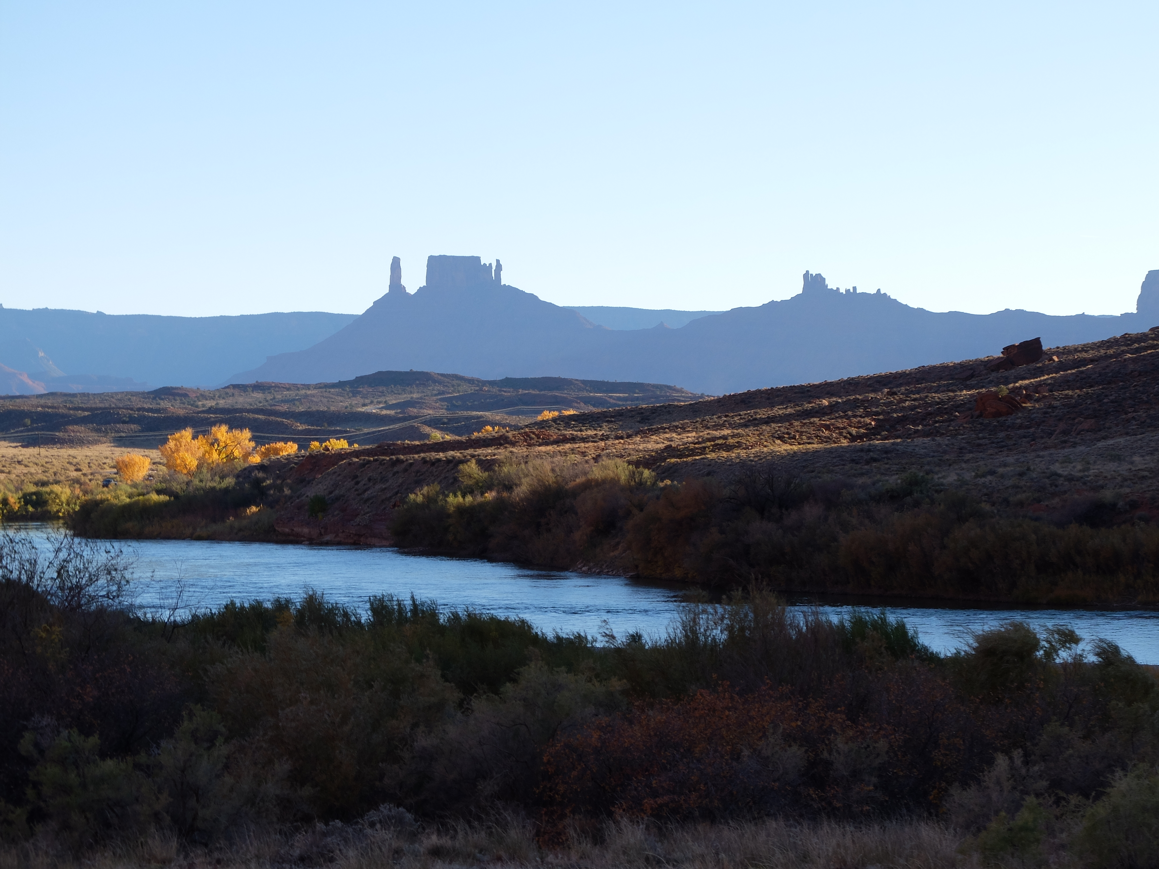
Along the way we were playing leap-frog with a Jeep as each of us stopped at various pull-outs to take pictures. Wow!
Arriving at Moab we drove immediately to Canyonlands National Park. We wanted to time the drive so we would know when we needed to leave Moab in the morning to be at Mesa Arch before sunrise. Shooting thru the arch at sunrise is an experience not to be missed. We did it 9 years ago when we first visited and I wanted to see if we could get some better shots.
That accomplished we returned to Moab for dinner, blogging, reading and bed.
Tomorrow we head for Las Vegas.
Till then,
TTFN,
R
Wowza those photos are stunning!
c – The Colorado National Monument visitors center had the usual exhibits about the geology that created the place but also mentioned the Indians who lived here (the “Ute”?) who had a “Bear Dance” every spring which celebrates the bear coming out of his den growling and grunting to greet the new spring. The participants form 2 lines facing each other (males in one line, females in the other) then then step back and forth swinging their arms and singing while other people accompany them by thrusting a round stick down and across a rutted stick (to imitate the grunt of the bear)! There was also quite a exhibit on all the CCC workers who blasted and dug and hauled all the stone to build the roads in the park and were glad to have a job during the depression.
c – When rounding the bend into Moab and seeing the pink/orange spires rise up on the horizon, I exclaimed to Randy that it looked like we were driving into Mos Eisely (from Star Wars)!